

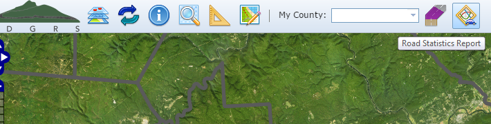
Road Statistics Report
Mapper allows you to generate real-time statistics for your county and selected municipalities. Using the Road Statistics tool, you can determine:
-
Approximate Low Volume Miles
-
Approximate Unpaved Miles
-
Number of Contracted and Completed Sites for both Programs (DGR & LVR)
-
Miles of Contracted and Completed Sites for both Programs (DGR & LVR)
Generate County Statistics
- Click the Road Statistics Report button to open the report dialog.
- The county statistics report will be automatically generated.
- To generate a new county statistics report again, click the Refresh Report (
 ) button.

Generate Municipality Statistics
- Click the Road Statistics Report button to open the report dialog.
- The county statistics report will be automatically generated.
- Click the Municipality Statistics tab to view that report.
- Select one or more municipalities. Hold Shift to select multiple municipalities in a row and Ctrl to select multiple individual municipalities. Click the Clear Municipalities (
 ) button to unselect all municipalities.
 - Click the Run Report (
 ) button to generate the municipality statistics report for the selected municipalities.
 - You can also using the Previous (
 ) and Next (
  ) buttons to automatically run the report for the current municipality.
 - To generate a new municipality statistics report again, click Refresh Report ( ) button and then redo Steps 3-7.


