

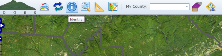
Identify
The Identify tool provides you with basic layer information retrieved from a mouse-selected place on the map. This information includes:
- Municipality: Name, Type, County
- Roads: Name
- Streams: Name, Designated Use, Existing Use
- Coordinates: Latitude and Longitude in Degrees/Minutes/Seconds
Using this Tool
- Navigate and zoom to the area of interest.
- Turn on the Municipalties, Roads, and Streams layers. (not required but definitely helpful)
- Click the Identify button. Your cursor will change to a hand pointer (
 ).
). - Using your mouse, left-click the location you wish to identify.
- Once selected, a dialog containing the information will appear. Click OK to close it and return to the map.


